Author: tproctor
Pender County Utilities counteracts Trihalomenthanes found in drinking water
During routine monitoring, Pender County Utilities detected the levels of Trihalomethanes (TTHMS) above drinking water standards. The standard level is 0.080 mg/L and the level found was 0.082 mg/L.
Pender County Utilities notified customers of the TTHMS levels.
Residents on the PCU water system do not need to boil their water or take any corrective actions.
This is not an emergency. The problem was corrected by Oct. 23.
TTHMS are four volatile organic chemicals that form when disinfectants react with natural organic material in the water. PCU has lowered the disinfection dosing at the water treatment plant and at the wells. Extensive flushing of water lines is being performed. Additional TTHM sampling is currently underway.
Notice to Public
NC Department of Labor presents Pender County Departments with safety awards
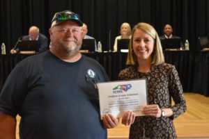
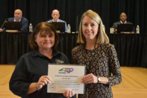
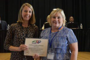
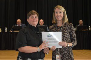
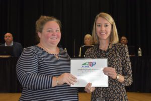
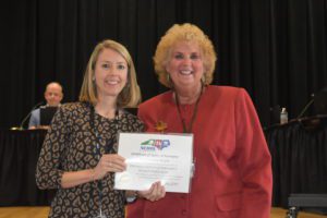
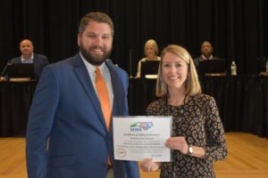
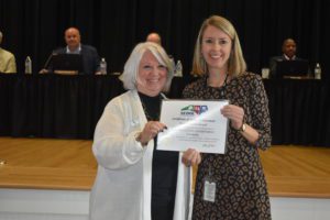
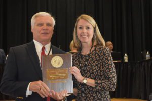
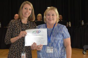
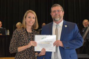
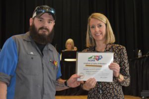
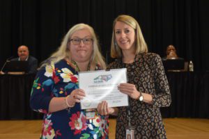
Pender County Human Resources was pleased to welcome Jennifer Haigwood, Department of Labor OSH Deputy Commissioner, at the Oct. 17 Pender County Board of Commissioners meeting. Haigwood presented Pender County departments safety awards as follows:
Silver Awards
Criteria: Rate of days away from work, job transfer or restriction must be at least 50% below the industry average.
First Year
Pender County Government, Facilities and Fleet Services
Pender County Government, Information Technology Services
Pender County Government, Parks and Recreation
Gold Awards
Criteria: Rate of days away from work, job transfer or restriction must be at least 50% below the industry average
First Year
Pender County Government, Health Department
Pender County Government, Jail
Pender County Government, Tax Administrator
Second Consecutive Year
Pender County Government, Animal Shelter
Pender County Government, Emergency Management
Pender County Government, Finance
Pender County Government, Human Resources
Pender County Government, Planning and Community Development
Fourth Consecutive Year
Pender County Government, Tourism
Pender County Government, Social Services
Eighth Consecutive Year
Pender County Government, Register of Deeds
Tenth Consecutive Year
Pender County Government, Library
Eleventh Consecutive Year
Pender County Government, Elections
Pender County Government, Housing
Twelfth Consecutive Year
Pender County Government, County managers office
Pender County Government, Mosquito Control
Pender County Government, Vehicle Maintenance
Pender County Government, Veterans Service
DEQ Statement on Chemours Appeal of the NPDES Permit
The NPDES permit for the treatment system is part of the larger barrier wall remediation project to substantially reduce PFAS entering the Cape Fear River and impacting downstream communities. Chemours is required to fulfill its obligations under the Consent Order and reduce the amount of contaminated groundwater reaching the Cape Fear River from the Chemours Fayetteville Works facility.
The Consent Order Addendum specifies a minimum reduction of 99% for the treatment system. DEQ expects Chemours to take all necessary steps to minimize its PFAS impacts on the environment. Pursuing litigation threatens to delay implementation beyond the Consent Order deadline of March 2023 and extend the ongoing contamination reaching the river and impacting downstream residents.
Sample ballots available for view
Here are the sample ballots for the Nov. 8 election.
PENDER-20231107-SAMPLE-E-V0001-CS04_CASWELL-MUNPENDER-20231107-SAMPLE-E-V0002-NB02_NORTH_BURGAW-MUNPENDER-20231107-SAMPLE-E-V0003-SP15_SLOOP_POINT-MUNPENDER-20231107-SAMPLE-E-V0004-SB02_SOUTH_BURGAW_13-MUNPENDER-20231107-SAMPLE-E-V0005-SB02_SOUTH_BURGAW_15-MUNPENDER-20231107-SAMPLE-E-V0006-SC13_SURF_CITY_05-MUNPENDER-20231107-SAMPLE-E-V0007-SC13_SURF_CITY_11-MUN
Important voting information
The Pender County Board of Elections announces upcoming voting information.
NOTICE of General Election for November 2022End of State of Emergency in Pender County
The Pender County State of Emergency for Hurricane Ian has been terminated.
Governor Cooper Urges Caution as North Carolina begins to feel Ian’s effects
Storm track has moved east with higher rain totals now expected in central North Carolina
Hurricane Ian made landfall in South Carolina at 2:05 PM
RALEIGH: Governor Cooper is urging North Carolinians to be safe and cautious during heavy rainfall, possible flooding and power outages as Hurricane Ian bears down on the state.
“Our message today is simple. Be smart and be safe. We’ve faced storms like this before and we know what to do,” Governor Cooper said. “Especially this weekend, I appreciate the efforts of emergency management officials, our national guard, state highway patrol, and other first responders to keep people safe.”
Widespread rainfall amounts of two to six inches are expected across the state going into early Saturday with locally higher totals up to eight inches. This rainfall could lead to flash flooding, coastal storm surge, landslides in the mountains, and rising rivers. A Flash Flood Watch is in effect for all of North Carolina except southwestern portions of the state.
Gusty winds will continue on Friday, peaking in the afternoon and into the overnight hours going into Saturday. Western North Carolina could see gusts of up to 35-55 miles per hour. Most North Carolina counties are under a Wind Advisory into Saturday.
The State Emergency Response Team activated Thursday at the State Emergency Operations Center in Raleigh and moved to 24-hour operations on Friday morning and will continue through the weekend.
The NCDOT has reported ferry routes are shut down. For the latest information on road closures, visit drivenc.gov. More than 10,000 utility workers in the Carolinas are poised to respond to power outages when it’s safe to do so. More than 2,200 NCDOT officials prepared equipment and are on standby waiting to respond around-the-clock later today and into this weekend. Crews fueled up and prepared more than 221 motor graders, 376 backhoes and loaders, 1,440 chainsaws, and 1,368 trucks to cut and shove downed trees and debris from roads.
More than 29,000 homes and businesses were without power as of 1:30 pm.
Residents are advised to stay aware and keep a watch on the forecast for Friday and over the weekend. State officials advise these tips to make sure your family is personally prepared:
• Have multiple ways to receive emergency info, including watches and warnings. Make sure emergency alerts are enabled on your cell phone and download a weather app.
• Have an emergency plan. Know where you would go if you need to evacuate. Make a plan to stay with family, friends or at a hotel. Public shelters should be a last resort.
• Gather some emergency supplies or refresh your emergency kit. Visit ReadyNC.gov for info on how to build an emergency kit.
• If you live at the coast, you should know if you live in a coastal evacuation zone. Visit KnowYourZone.nc.gov to see if you are in a pre-determined evacuation zone. Learn your zone and listen for it if evacuations are ordered by local governments.
• Check to see if your community offers emergency alert services for its residents.
• Avoid unnecessary travel.
Links:
https://drivenc.gov/
Pender County Declares State of Emergency, effective Sept. 30, 8 a.m.
PENDER COUNTY – With Hurricane Ian approaching the East Coast, Pender County authorities declared a state of emergency effective Friday, Sept. 30, at 8 a.m.
“As of Thursday afternoon, Hurricane Ian was downgraded to a tropical storm. However, it’s possible this storm could strengthen over the Atlantic Ocean and once again become a Category 1 hurricane,” said Tommy Batson, Pender County Emergency Director. “The Emergency Operations Center (EOC) will activate tomorrow morning, and we will continue to monitor this storm.”
Pender County Emergency Management urges all residents to prepare now for possible high winds, possible tornadoes, loss of electricity, and flash flooding.
Remember to secure all pets and have enough food and water for seven days.
Pender County Emergency Management will post updates on the Facebook page at facebook.com/penderem and on the website http://www.penderem.com. If you need assistance call the EM office at 910- 259-1210.
Governor Urges Weather Awareness, Preparation Ahead of Ian
Ian expected to strengthen into Category 1 Hurricane before making landfall in South Carolina |
RALEIGH: Governor Cooper is encouraging North Carolinians to pay close attention to the weather and take necessary precautions as the remnants of Hurricane Ian approach the state.
“Hurricane Ian reminds us how unpredictable these storms can be and North Carolinians should be prepared when it reaches our state,” Governor Cooper said Thursday. “Heavy rains, up to seven inches in some areas, are likely to bring some flooding. Landslides are a threat in our mountains and there’s a chance of tornadoes statewide. Coastal flooding and gusty winds are likely as the storm passes through. This storm is still dangerous.” Effects from Ian will arrive as soon as Thursday evening, with potential impacts including significant rainfall statewide, gusty winds, flash flooding and storm surge in coastal counties. Heavy rain will arrive along the NC coast tonight, spreading westward during the day Friday. As of 11 a.m. Thursday, the National Weather Service issued a tropical storm warning and storm surge watch for large portions of eastern North Carolina, from Dare County to the South Carolina border. The area under the greatest threat of flash flooding is along the NC/SC border and in portions of the southern mountains. In addition to flash flooding, heavy rain could create the potential for landslides and river flooding in Western North Carolina. On Wednesday, Governor Cooper declared a State of Emergency, activating the state’s emergency operations plan, waiving transportation rules governing fuel and critical supplies and protecting consumers from price gouging. On Thursday morning, the State Emergency Response Team activated at the State Emergency Operations Center in Raleigh, with plans to begin 24-hour operations Friday morning. As Ian approaches, state officials advise these tips to make sure your family is personally prepared:
The latest NC Emergency Management forecast can be found at https://www.readync.gov/weather. Follow @NCEmergency on Twitter and Facebook for the latest information on Hurricane Ian and how you can prepare. Today’s press conference can be viewed here. ### |